DISCOVER-AQ 2014 Campaign GEOS-5 Forecasting Support
DISCOVER-AQ (Deriving Information on Surface Conditions from Column and Vertically Resolved Observations Relevant to Air Quality) is a four-year campaign to improve the use of satellites to monitor air quality for public health and environmental benefit.
This field campaign will provide systematic and concurrent observations of column-integrated, surface, and vertically-resolved distributions of aerosols and trace gases relevant to air quality as they evolve throughout the day. This will be accomplished with a combination of two NASA airborne platforms (sampling in coordination with re-locatable and fixed surface networks. Through these targeted airborne and ground-based observations, DISCOVER-AQ will enable more effective use of current and future satellites to diagnose ground level conditions influencing air quality.
DISCOVER-AQ will deploy for flights over Colorado in Summer 2014.
Read more about the science objectives of DISCOVER-AQ.
Supporting Forecasts and Data
- Wx Maps
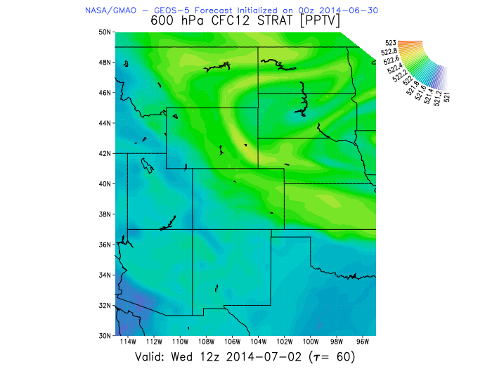
- 2D Chem WX
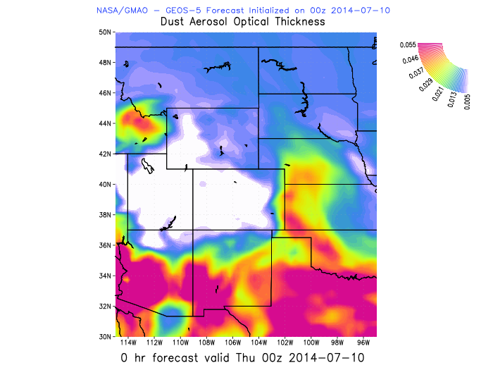
- 3D Chem WX
- Meteograms
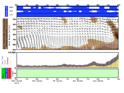
- Aerograms
- Viewers
- KML
- Get Data

» GEOS-5 2D ChemMap Visualization Tool

Web Viewers
- GEOS-5 Chemical and Aerosol Consituent Forecasts from NASA Goddard's Atmospheric Chemistry and Dynamics Branch
- GEOS-5 WMS Viewer (NCCS)
Google Earth (KML files)
Get Data
- Download Tool:
OPeNDAP:
FTP (leave password blank):
IMPORTANT: Please note that these predictions are experimental and are produced for research purposes only. Use of these forecasts for purposes other than research is not recommended.
